A few nights ago it was chilly with temps in the 40s and a stiff breeze, but friends and I decided to have a beach fire dinner anyway. A good time was had by all!


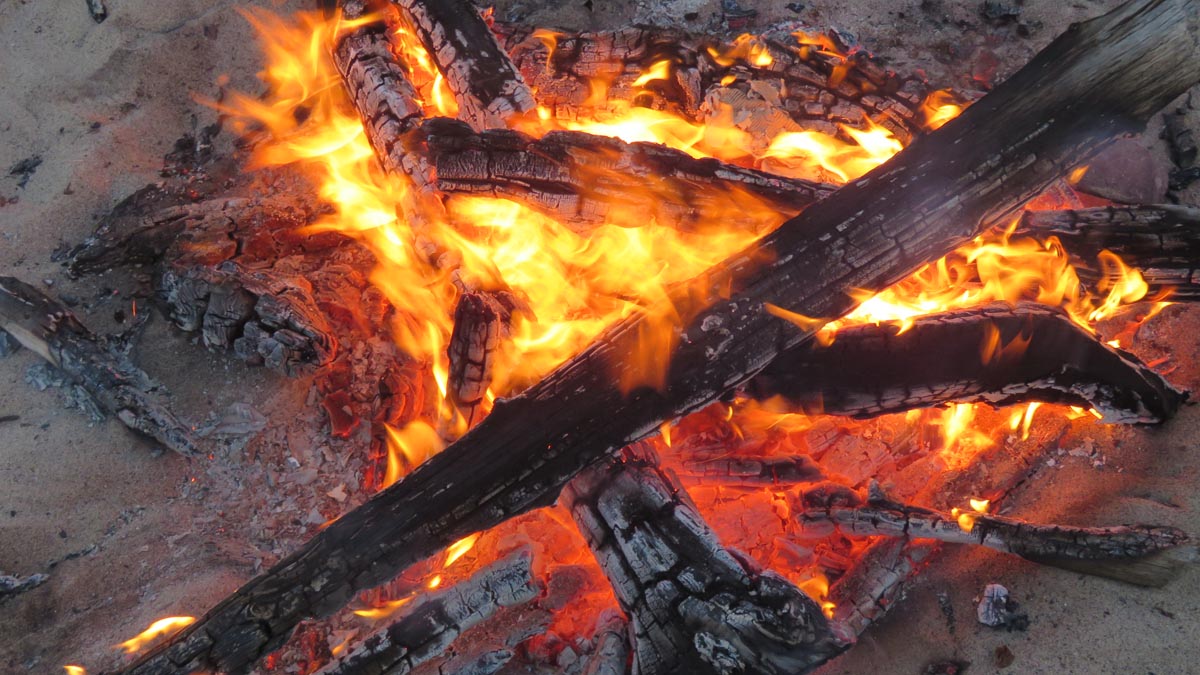


A few nights ago it was chilly with temps in the 40s and a stiff breeze, but friends and I decided to have a beach fire dinner anyway. A good time was had by all!
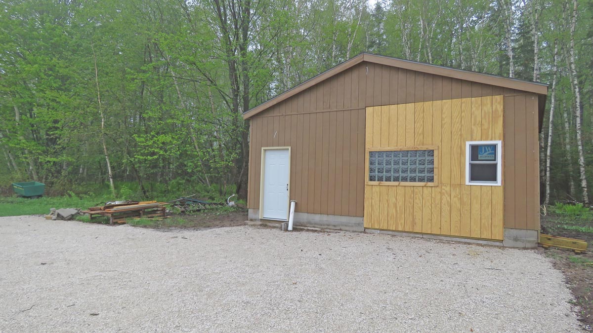
Progress continues on the remodeling of the building that will house the Agatelady Rock Shop, which is scheduled to open on June 1, 2023 in Grand Marais, MI.
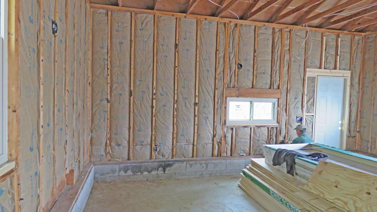
The interior walls are almost installed....


The walls are in!


I primed the wood showing on the exterior. The white panel to the left of the ladder is the location of the original door. Because snow and rain always fell on your head when you entered that door, I had a new door installed on the north side of the building, which faces the new parking lot.


I only bought one gallon of primer to start and ran out just before I was done.


Finished the priming.

Now I have to decide what color top coat and trim I will use. Some options that have been suggested so far are: match colors on my house (which is next to the rock shop building), duplicate the colors on the current Gitche Gumee Museum, or go wild and use a bright, color-attention color.

Yesterday, my contractor put in half the ceiling insulation.


My contractor has been busy this past month beginning the remodel of the building that will house the Agatelady Rock Shop. I am very impressed with his work ethic and the progress thus far. This past two weeks they have had other smaller jobs to do, but have made time to install insulation in the walls and put up some of the interior walls.


I have been trying to prime the outside wood, but it has either been too cold or raining.


Thanks so much to my friends, Sharon and Jon, for inviting me to the first summer sunset beach fire of the year. For a change the wind was calm and the temperatures moderate -- it was a great and much needed break.
There are still a few piles of rocks on the beach left over from melted shore ice.

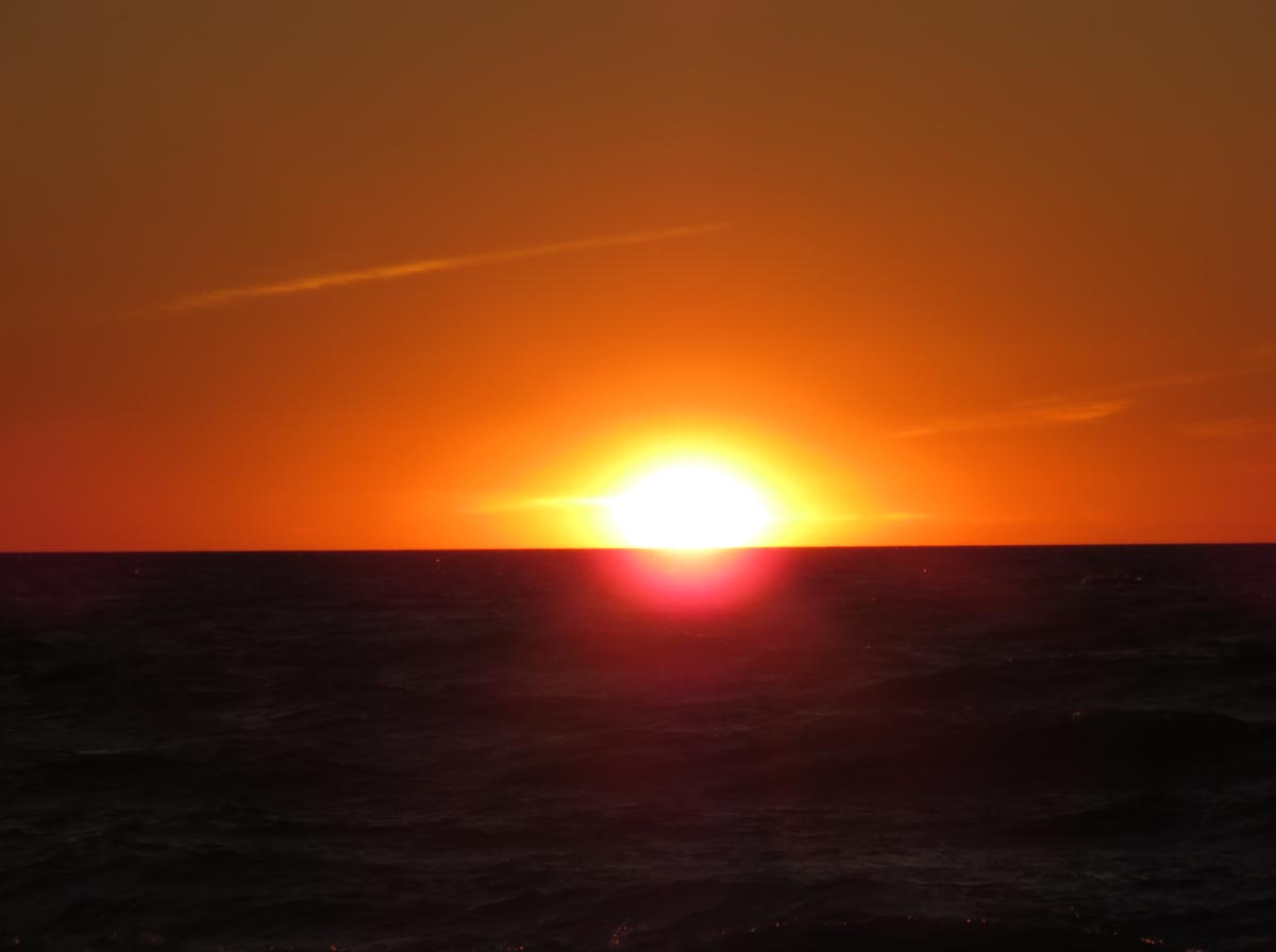
We could tell an hour before sunset that it was worth staying on the beach.

The photo below shows virga. According to Wiki, "In meteorology, a virga is an observable streak or shaft of precipitation falling from a cloud that evaporates or sublimates before reaching the ground. A shaft of precipitation that does not evaporate before reaching the ground is a precipitation shaft. At high altitudes the precipitation falls mainly as ice crystals before melting and finally evaporating; this is often due to compressional heating, because the air pressure increases closer to the ground. It is very common in deserts and temperate climates. In North America, it is commonly seen in the Western United States and the Canadian Prairies. It is also very common in the Middle East, Australia, and North Africa.
Virgae can cause varying weather effects, because as rain is changed from liquid to vapor form, it removes significant amounts of heat from the air due to water's high heat of vaporization. Precipitation falling into these cooling down drafts may eventually reach the ground. In some instances these pockets of colder air can descend rapidly, creating a wet or dry microburst which can be extremely hazardous to aviation. Conversely, precipitation evaporating at high altitude can compressionally heat as it falls, and result in a gusty downburst which may substantially and rapidly warm the surface temperature. This fairly rare phenomenon, a heat burst, also tends to be of exceedingly dry air.

Here comes the sun....


