
Lat/Lon: 46.60500°N / 87.489°W
Elevation: 1220 ft / 372 m

Below is a map...

Hogback Mountain rises just to the north of Marquette, Michigan. It is one of the southernmost peaks in the remote Huron Mountain Range. Hogback offers one of the most difficult (in my opinion) hikes in Michigan. The peak rises 600 feet above the surrounding terrain but hikers will ascend much of that in the last 1/2 to 3/4 mile. This peak is unique in that its summit is mostly devoid of vegetation. Its as close to an alpine environment as you can get in Michigan. Even though Hogback is located only 10 minutes from a town of 20,000 you will rarely find a crowd at the summit. Most people wandering north out of Marquette stop at nearby Sugarloaf Mountain which offers boardwalks and steps to the summit. Odds are you'll have to talk to a local to give you directions to Hogback as you won't find it in any brochure. In fact, many locals won't even know how to get there. That's the best part of Hogback Mountain, its solitude. From the rocky summit only a few buildings are distinguishable to the south while to the north is a sea of forests and hills unbroken by even a single road.


Signage to Wetmore Pond is very good. However, the signage to Hogback is nonexistent. To get to Hogback, follow the Wetmore Pond trail for the first mile or so.


When you get to the first large rock outcropping that is pink feldspar, climb up the rock and look to the right. There is a small triangle trail marker on a tree. Hang a right down the trail.


From the pink rock you can see Hogback Mountain. I didn't take a picture of it, but there is a second large rock outcropping. Go straight across the rock and continue straight. Do not follow the orange markers to the left.


Close to the top...

There were a few patches of snow...

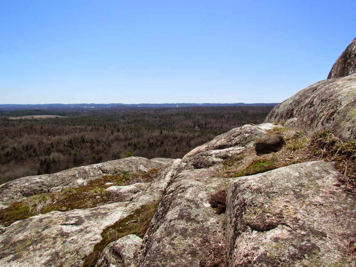
Pictures from the top...

You cannot see very many buildings, but you can see the Superior Dome. From the top it is hard to even see evidence of a city below.

Presque Isle from the top...

Looking down on Sugarloaf...

Wetmore Pond...

A bird of prey or turkey vulture....

We had a nice picnic lunch...


No comments:
Post a Comment